|
|
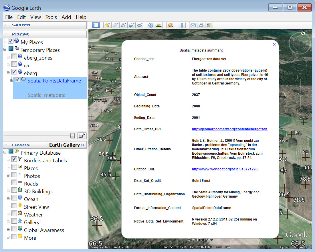
A suite of functions for converting sp-class objects into KML or KMZ documents for use in Google Earth.
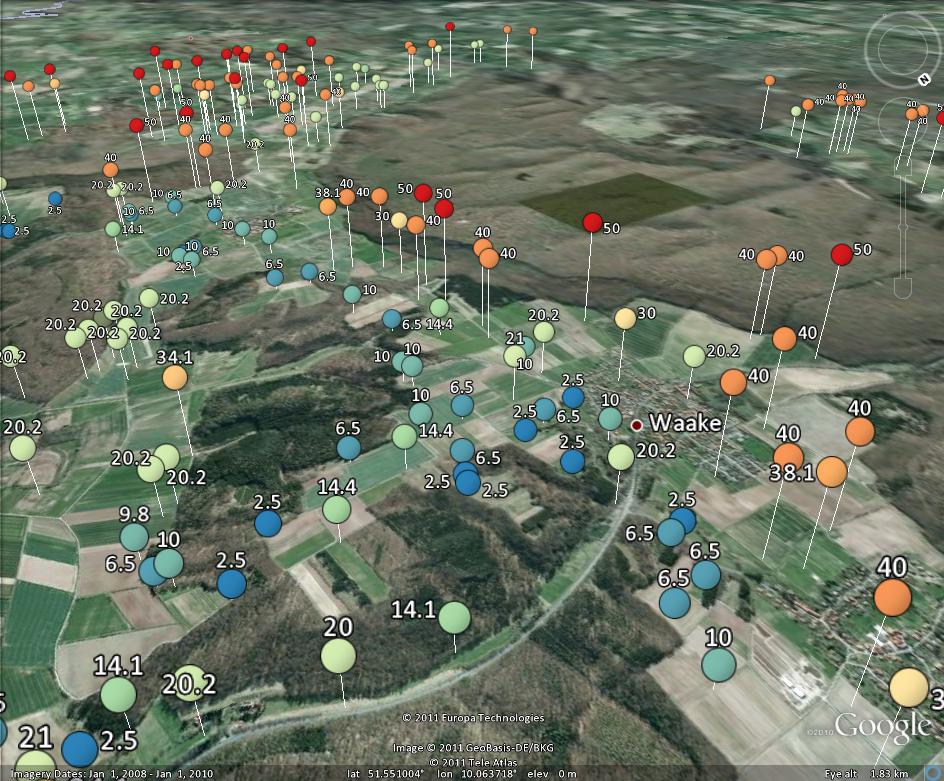
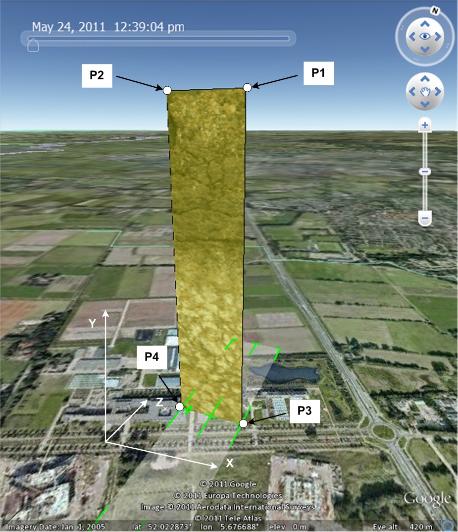
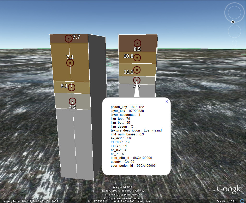
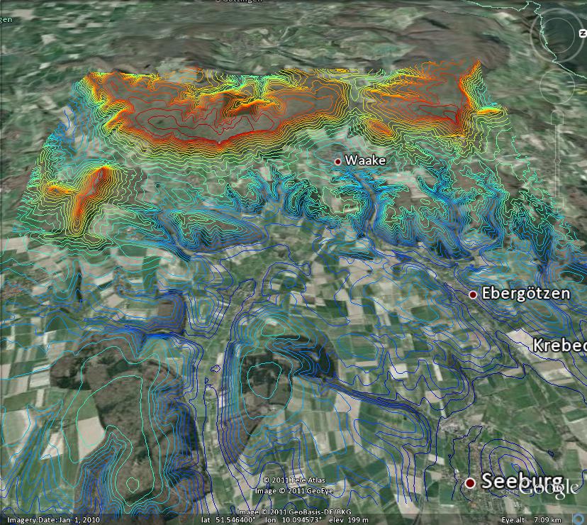
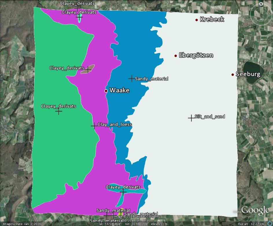
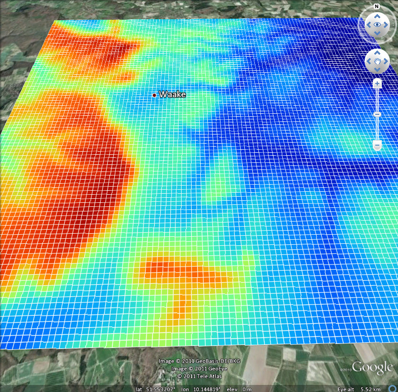
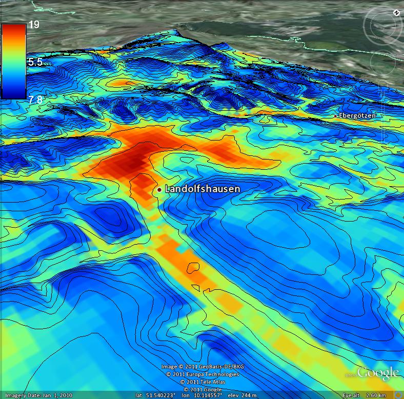
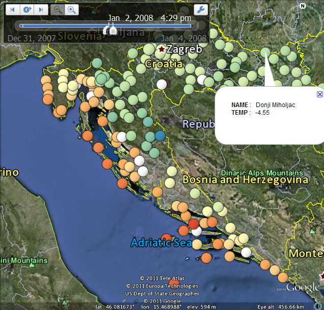
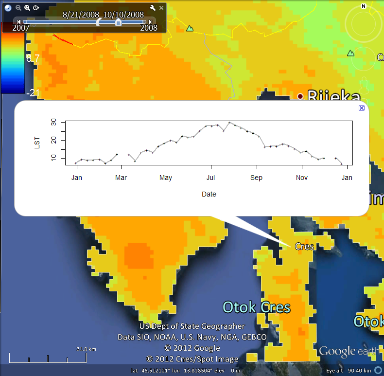
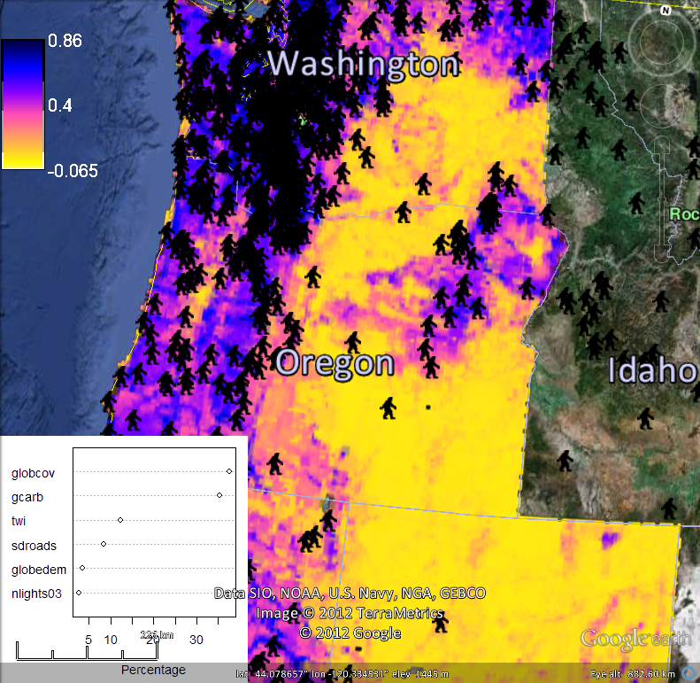
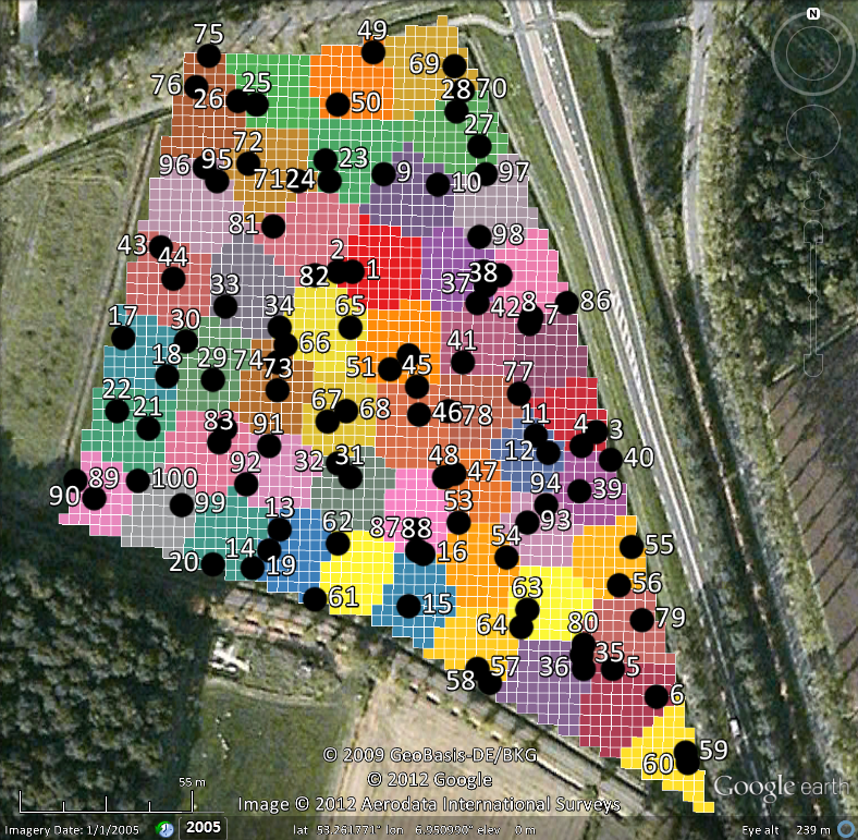
Visualization of spatial and spatio-temporal objects in Google Earth
Contact: Tomislav Hengl,
Contributions by: Pierre Roudier, Dylan Beaudette & Edzer Pebesma
This package has been developed as a part of the Global Soil Information Facilities, which are developed jointly by the ISRIC Institute and collaborators.
The plotKML project summary page you can find here. See the complete list of functions and a list of additional settings. To submit a software bug, use the official package tracker. The fastest way to learn how plotKML works is to follow this tutorial. There is also a paper in the JSS on plotKML package functionality.
To submit a bug or future request please use the package tracker. The package is continuously updated and it is expected to become fully operational by early 2013.
Installation:
Get the stable release from CRAN.
To install this package from R-forge use (works only on >= R 2.14!):
> install.packages("plotKML", repos=c("http://R-Forge.R-project.org"))
Alternatively, you can install the most recent snapshot of the package directly from the source code.
News:
Documents:
Last update: January 04, 2019 | contact: tom.hengl@opengeohub.org | OpenGeoHub foundation